
Ozark topographic map
Interactive map
Click on the map to display elevation.
About this map
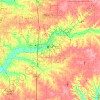
Name: Ozark topographic map, elevation, terrain.
Location: Ozark, Christian County, Missouri, 65721, United States (36.93916 -93.25725 37.09266 -93.17497)
Average elevation: 389 m
Minimum elevation: 319 m
Maximum elevation: 438 m