
Nettle Hill topographic map
Interactive map
Click on the map to display elevation.
About this map
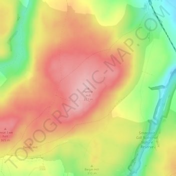
Name: Nettle Hill topographic map, elevation, terrain.
Average elevation: 305 m
Minimum elevation: 201 m
Maximum elevation: 383 m
Other topographic maps
Click on a map to view its topography, its elevation and its terrain.
Cross Fell
United Kingdom > England > Eden
Cross Fell, Eden, Cumbria, North West England, England, United Kingdom
Average elevation: 753 m