
Midland topographic map
Interactive map
Click on the map to display elevation.
About this map
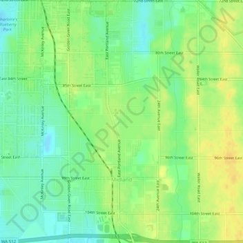
Name: Midland topographic map, elevation, terrain.
Location: Midland, Pierce County, Washington, United States (47.15812 -122.43569 47.19180 -122.39619)
Average elevation: 126 m
Minimum elevation: 113 m
Maximum elevation: 139 m