
Englewood topographic map
Interactive map
Click on the map to display elevation.
About this map
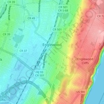
Name: Englewood topographic map, elevation, terrain.
Location: Englewood, Bergen County, New Jersey, 07361, United States (40.86557 -73.99457 40.91346 -73.94929)
Average elevation: 46 m
Minimum elevation: -1 m
Maximum elevation: 139 m