
Mahwah topographic map
Interactive map
Click on the map to display elevation.
About this map
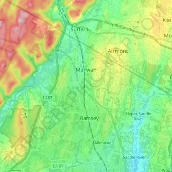
Name: Mahwah topographic map, elevation, terrain.
Location: Mahwah, Bergen County, New Jersey, United States (41.02209 -74.24894 41.13400 -74.10379)
Average elevation: 139 m
Minimum elevation: 38 m
Maximum elevation: 350 m