
Haledon topographic map
Interactive map
Click on the map to display elevation.
About this map
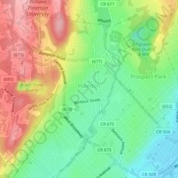
Name: Haledon topographic map, elevation, terrain.
Location: Haledon, Passaic County, New Jersey, United States (40.92333 -74.20333 40.94689 -74.17469)
Average elevation: 81 m
Minimum elevation: 14 m
Maximum elevation: 166 m