
Trang topographic map
Interactive map
Click on the map to display elevation.
About this map
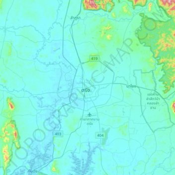
Name: Trang topographic map, elevation, terrain.
Location: Trang, Trang Province, 92000, Thailand (7.40074 99.45149 7.72074 99.77149)
Average elevation: 38 m
Minimum elevation: -1 m
Maximum elevation: 506 m