
Ban Pong Sali topographic map
Interactive map
Click on the map to display elevation.
About this map
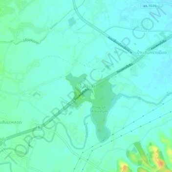
Name: Ban Pong Sali topographic map, elevation, terrain.
Location: Ban Pong Sali, Chiang Rai Province, Thailand (19.81694 99.76680 19.85694 99.80680)
Average elevation: 406 m
Minimum elevation: 399 m
Maximum elevation: 432 m