
Mole Hill topographic map
Interactive map
Click on the map to display elevation.
About this map
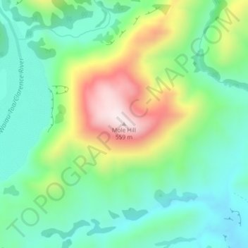
Name: Mole Hill topographic map, elevation, terrain.
Location: Mole Hill, Kaikōura District, Canterbury, New Zealand (-42.02759 173.92879 -42.02749 173.92889)
Average elevation: 228 m
Minimum elevation: 66 m
Maximum elevation: 562 m