
Chachoengsao topographic map
Interactive map
Click on the map to display elevation.
About this map
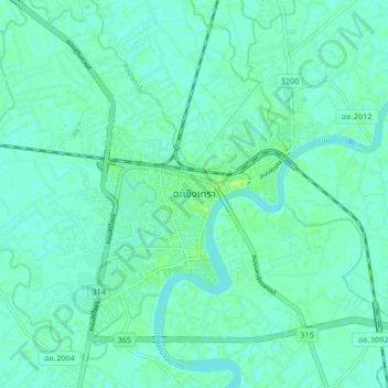
Name: Chachoengsao topographic map, elevation, terrain.
Location: Chachoengsao, Chachoengsao Province, 24000, Thailand (13.64890 101.03176 13.72890 101.11176)
Average elevation: 4 m
Minimum elevation: 0 m
Maximum elevation: 10 m