
Wang Sala topographic map
Interactive map
Click on the map to display elevation.
About this map
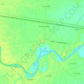
Name: Wang Sala topographic map, elevation, terrain.
Location: Wang Sala, Kanchanaburi Province, 71130, Thailand (13.91366 99.64807 13.99366 99.72807)
Average elevation: 20 m
Minimum elevation: 10 m
Maximum elevation: 30 m