
Yang Hom topographic map
Interactive map
Click on the map to display elevation.
About this map
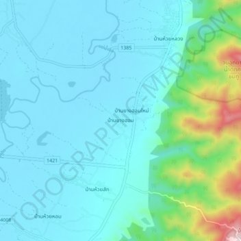
Name: Yang Hom topographic map, elevation, terrain.
Location: Yang Hom, Chiang Rai Province, Thailand (19.86511 100.25148 19.94511 100.33148)
Average elevation: 467 m
Minimum elevation: 350 m
Maximum elevation: 1,152 m