
Don Hua Lo topographic map
Interactive map
Click on the map to display elevation.
About this map
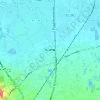
Name: Don Hua Lo topographic map, elevation, terrain.
Location: Don Hua Lo, Chon Buri Province, Thailand (13.37651 101.00261 13.45651 101.08261)
Average elevation: 12 m
Minimum elevation: -12 m
Maximum elevation: 104 m