
Imlay topographic map
Interactive map
Click on the map to display elevation.
About this map
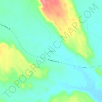
Name: Imlay topographic map, elevation, terrain.
Location: Imlay, Pennington County, South Dakota, United States (43.69944 -102.41739 43.73944 -102.37739)
Average elevation: 815 m
Minimum elevation: 786 m
Maximum elevation: 886 m