
Semboku topographic map
Interactive map
Click on the map to display elevation.
About this map
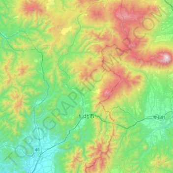
Name: Semboku topographic map, elevation, terrain.
Location: Semboku, Akita Prefecture, Japan (39.55099 140.46403 39.99981 140.87974)
Average elevation: 601 m
Minimum elevation: 37 m
Maximum elevation: 2,022 m