
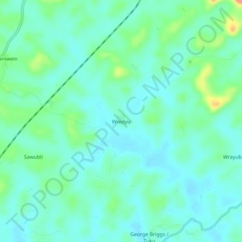
Wredyu topographic map
Interactive map
Click on the map to display elevation.
About this map
Name: Wredyu topographic map, elevation, terrain.
Location: Wredyu, District # 3, Grand Bassa County, Liberia (6.16917 -9.73871 6.20917 -9.69871)
Average elevation: 133 m
Minimum elevation: 115 m
Maximum elevation: 195 m