
Hammondville topographic map
Interactive map
Click on the map to display elevation.
About this map
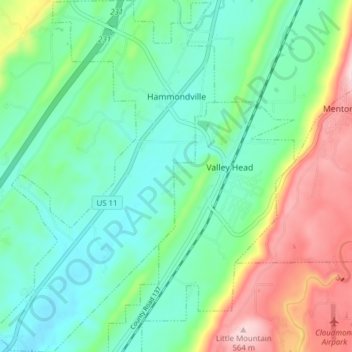
Name: Hammondville topographic map, elevation, terrain.
Location: Hammondville, DeKalb County, Alabama, United States (34.53550 -85.66676 34.59908 -85.61828)
Average elevation: 362 m
Minimum elevation: 273 m
Maximum elevation: 566 m