
Tennent Creek topographic map
Interactive map
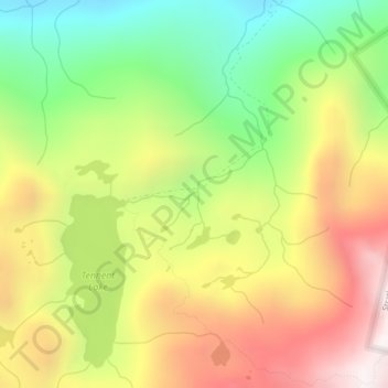
Click on the map to display elevation.
About this map
Name: Tennent Creek topographic map, elevation, terrain.
Average elevation: 1,016 m
Minimum elevation: 414 m
Maximum elevation: 1,679 m
Other topographic maps
Click on a map to view its topography, its elevation and its terrain.
Vancouver Island
Canada > British Columbia > Area D (Oyster Bay/Buttle Lake)
The rain shadow effect of the island's mountains, as well as the mountains of Washington's Olympic Peninsula, creates wide variation in precipitation. The west coast is considerably wetter than the east coast. Average annual precipitation ranges from 6,650 mm (262 in) at Hucuktlis Lake on the west coast…
Average elevation: 411 m