
Tábor topographic map
Interactive map
Click on the map to display elevation.
About this map
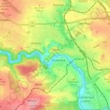
Name: Tábor topographic map, elevation, terrain.
Location: Tábor, okres Tábor, Jihočeský kraj, Southwest, Czechia (49.38525 14.63947 49.43787 14.69728)
Average elevation: 454 m
Minimum elevation: 383 m
Maximum elevation: 527 m