
Guanyang County topographic map
Interactive map
Click on the map to display elevation.
About this map
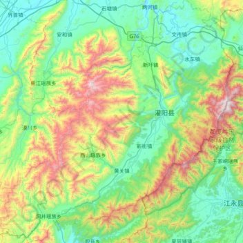
Name: Guanyang County topographic map, elevation, terrain.
Location: Guanyang County, Guilin, Guangxi, 541607, China (25.18090 110.72152 25.75884 111.33749)
Average elevation: 635 m
Minimum elevation: 174 m
Maximum elevation: 1,955 m