
Gowrie topographic map
Interactive map
Click on the map to display elevation.
About this map
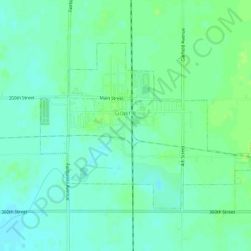
Name: Gowrie topographic map, elevation, terrain.
Location: Gowrie, Webster County, Iowa, United States (42.26824 -94.30563 42.28938 -94.26228)
Average elevation: 347 m
Minimum elevation: 341 m
Maximum elevation: 352 m