
Willoughby topographic map
Interactive map
Click on the map to display elevation.
About this map
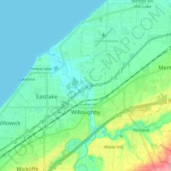
Name: Willoughby topographic map, elevation, terrain.
Location: Willoughby, Lake County, Ohio, 44094, United States (41.60412 -81.45269 41.70715 -81.36626)
Average elevation: 199 m
Minimum elevation: 172 m
Maximum elevation: 308 m