
Casey topographic map
Interactive map
Click on the map to display elevation.
About this map
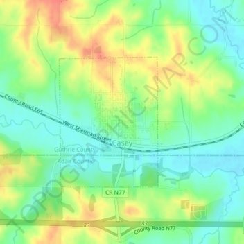
Name: Casey topographic map, elevation, terrain.
Location: Casey, Guthrie County, Iowa, United States (41.50030 -94.52867 41.51467 -94.51410)
Average elevation: 389 m
Minimum elevation: 367 m
Maximum elevation: 420 m