
Radeče topographic map
Interactive map
Click on the map to display elevation.
About this map
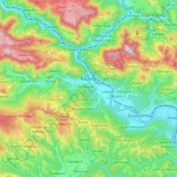
Name: Radeče topographic map, elevation, terrain.
Location: Radeče, Lower Sava Statistical Region, 1433, Slovenia (46.02533 15.06614 46.09369 15.23646)
Average elevation: 447 m
Minimum elevation: 175 m
Maximum elevation: 980 m