
Gökçebel topographic map
Interactive map
Click on the map to display elevation.
About this map
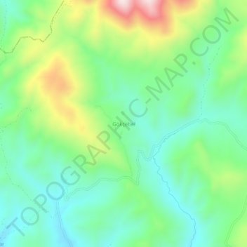
Name: Gökçebel topographic map, elevation, terrain.
Location: Gökçebel, İmranlı, Sivas, İç Anadolu Bölgesi, Turquía (39.92936 38.20261 39.96936 38.24261)
Average elevation: 1,908 m
Minimum elevation: 1,739 m
Maximum elevation: 2,277 m