
Agios Sergios topographic map
Interactive map
Click on the map to display elevation.
About this map
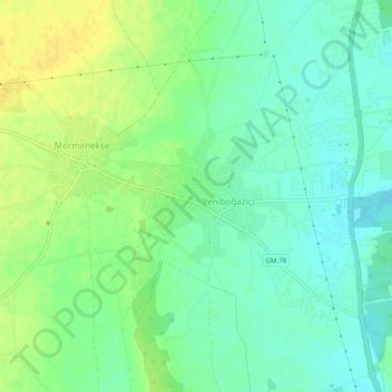
Name: Agios Sergios topographic map, elevation, terrain.
Location: Agios Sergios, Famagusta, Northern Cyprus, 99860, Cyprus (35.17662 33.85403 35.21662 33.89403)
Average elevation: 11 m
Minimum elevation: 0 m
Maximum elevation: 25 m