
Laarne topographic map
Interactive map
Click on the map to display elevation.
About this map
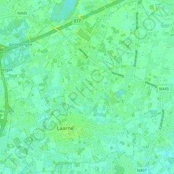
Name: Laarne topographic map, elevation, terrain.
Location: Laarne, Dendermonde, East Flanders, Flanders, 9270, Belgium (51.01729 3.82308 51.06410 3.88845)
Average elevation: 5 m
Minimum elevation: -1 m
Maximum elevation: 13 m