
Mundijong topographic map
Interactive map
Click on the map to display elevation.
About this map
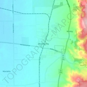
Name: Mundijong topographic map, elevation, terrain.
Location: Mundijong, Western Australia, Australia (-32.33583 115.94520 -32.25583 116.02520)
Average elevation: 64 m
Minimum elevation: 12 m
Maximum elevation: 302 m