
Huntingdale topographic map
Interactive map
Click on the map to display elevation.
About this map
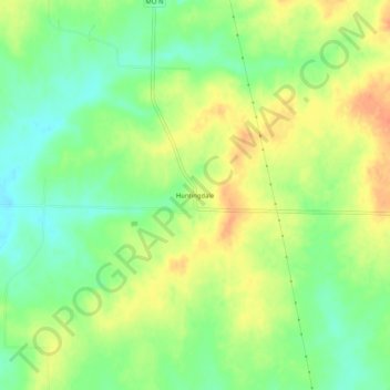
Name: Huntingdale topographic map, elevation, terrain.
Location: Huntingdale, Henry County, Missouri, USA (38.45668 -93.83716 38.49668 -93.79716)
Average elevation: 255 m
Minimum elevation: 233 m
Maximum elevation: 278 m