
Xoxocotla topographic map
Interactive map
Click on the map to display elevation.
About this map
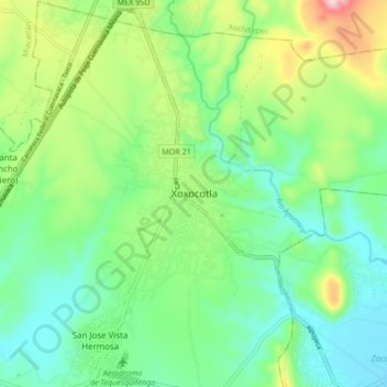
Name: Xoxocotla topographic map, elevation, terrain.
Location: Xoxocotla, Puente de Ixtla, Morelos, 62680, Mexico (18.64462 -99.28586 18.72462 -99.20586)
Average elevation: 1,008 m
Minimum elevation: 910 m
Maximum elevation: 1,232 m