
Province of Huari topographic map
Interactive map
Click on the map to display elevation.
About this map
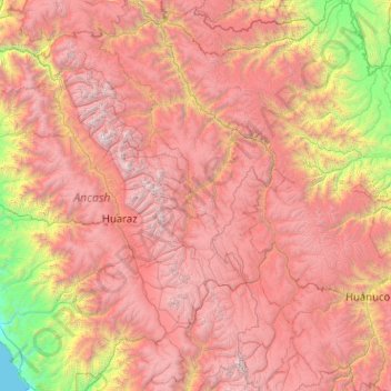
Name: Province of Huari topographic map, elevation, terrain.
Location: Province of Huari, Huachis, Huari, Ancash, Peru (-9.42819 -77.15405 -9.38819 -77.11405)
Average elevation: 3,183 m
Minimum elevation: 2,580 m
Maximum elevation: 4,371 m