Saint-Rambert-en-Bugey topographic map
Interactive map
Click on the map to display elevation.
About this map
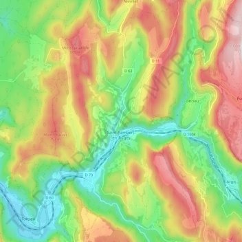
Name: Saint-Rambert-en-Bugey topographic map, elevation, terrain.
Average elevation: 545 m
Minimum elevation: 260 m
Maximum elevation: 902 m

Click on the map to display elevation.
Name: Saint-Rambert-en-Bugey topographic map, elevation, terrain.
Average elevation: 545 m
Minimum elevation: 260 m
Maximum elevation: 902 m