
El Chaltén topographic map
Interactive map
Click on the map to display elevation.
About this map
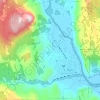
Name: El Chaltén topographic map, elevation, terrain.
Location: El Chaltén, Lago Argentino, SC, Argentina (-49.34211 -72.91594 -49.31427 -72.87460)
Average elevation: 513 m
Minimum elevation: 387 m
Maximum elevation: 838 m
Other topographic maps
Click on a map to view its topography, its elevation and its terrain.