
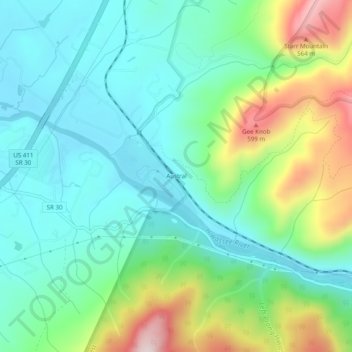
Austral topographic map
Interactive map
Click on the map to display elevation.
About this map
Name: Austral topographic map, elevation, terrain.
Location: Austral, Polk County, Tennessee, 37325, USA (35.21396 -84.56521 35.25396 -84.52521)
Average elevation: 346 m
Minimum elevation: 212 m
Maximum elevation: 683 m