
Talar topographic map
Interactive map
Click on the map to display elevation.
About this map
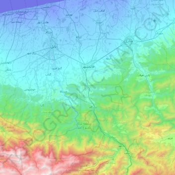
Name: Talar topographic map, elevation, terrain.
Average elevation: 555 m
Minimum elevation: -29 m
Maximum elevation: 3,374 m
Other topographic maps
Click on a map to view its topography, its elevation and its terrain.
Qaem Shahr
Iran > Mazandaran Province > Qaem Shahr County
Qaem Shahr, بخش مرکزی, Qaem Shahr County, Mazandaran Province, 47657-93657, Iran
Average elevation: 53 m