
首义路街道 topographic map
Interactive map
Click on the map to display elevation.
About this map
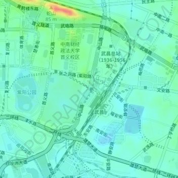
Name: 首义路街道 topographic map, elevation, terrain.
Location: 首义路街道, Wuchang District, Wuhan City, Hubei, PRC (30.51972 114.30028 30.54671 114.31840)
Average elevation: 31 m
Minimum elevation: 18 m
Maximum elevation: 76 m