
Entrance Island topographic map
Interactive map
Click on the map to display elevation.
About this map
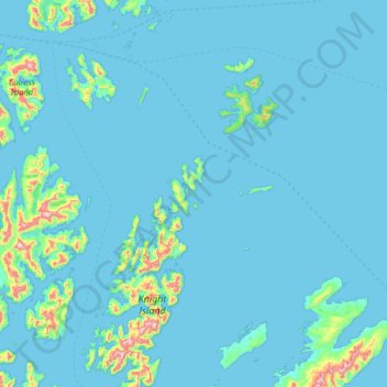
Name: Entrance Island topographic map, elevation, terrain.
Location: Entrance Island, Valdez-Cordova, Alaska, USA (60.19688 -147.90721 60.83688 -147.26721)
Average elevation: 41 m
Minimum elevation: -7 m
Maximum elevation: 850 m
Other topographic maps
Click on a map to view its topography, its elevation and its terrain.