
Homewood topographic map
Interactive map
Click on the map to display elevation.
About this map
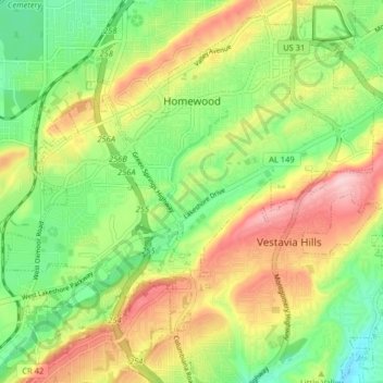
Name: Homewood topographic map, elevation, terrain.
Location: Homewood, Jefferson County, Alabama, 35209, USA (33.42606 -86.84840 33.48880 -86.76828)
Average elevation: 235 m
Minimum elevation: 140 m
Maximum elevation: 354 m