
Fingal Head topographic map
Interactive map
Click on the map to display elevation.
About this map
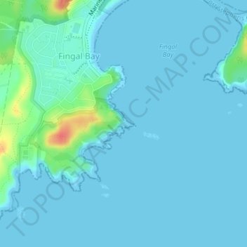
Name: Fingal Head topographic map, elevation, terrain.
Average elevation: 6 m
Minimum elevation: -1 m
Maximum elevation: 51 m
Other topographic maps
Click on a map to view its topography, its elevation and its terrain.
Fingal Bay
Australia > New South Wales > Fingal Bay
Fingal Bay, Port Stephens Council, New South Wales, 2315, Australia
Average elevation: 15 m