
Huntington topographic map
Interactive map
Click on the map to display elevation.
About this map
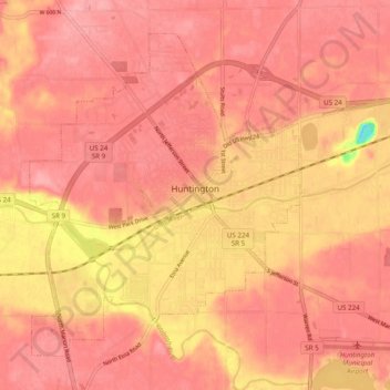
Name: Huntington topographic map, elevation, terrain.
Location: Huntington, Huntington County, Indiana, 46750, USA (40.85125 -85.53905 40.91244 -85.44128)
Average elevation: 238 m
Minimum elevation: 156 m
Maximum elevation: 262 m