
Bald Hills topographic map
Interactive map
Click on the map to display elevation.
About this map
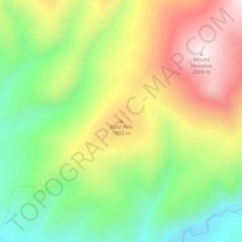
Name: Bald Hills topographic map, elevation, terrain.
Location: Bald Hills, Meagher County, Montana, United States (46.96963 -111.13000 46.96973 -111.12990)
Average elevation: 1,735 m
Minimum elevation: 1,469 m
Maximum elevation: 2,057 m