
Uptown topographic map
Interactive map
Click on the map to display elevation.
About this map
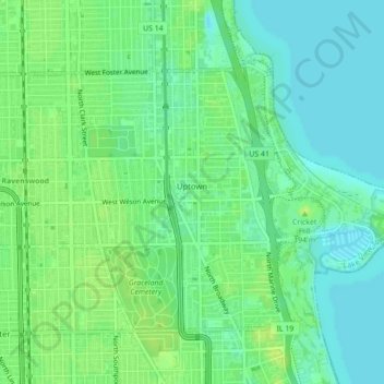
Name: Uptown topographic map, elevation, terrain.
Location: Uptown, Chicago, Cook County, Illinois, 60640, USA (41.95438 -87.67441 41.97781 -87.63087)
Average elevation: 182 m
Minimum elevation: 174 m
Maximum elevation: 189 m
Other topographic maps
Click on a map to view its topography, its elevation and its terrain.
Garfield Ridge
Garfield Ridge, Chicago, Cook County, Illinois, USA
Average elevation: 184 m