
Logan River topographic map
Interactive map
Click on the map to display elevation.
About this map
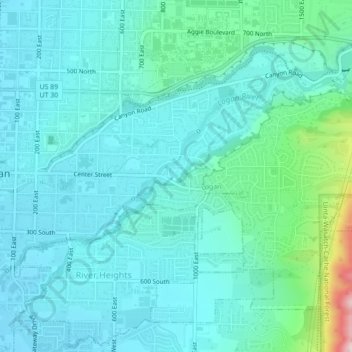
Name: Logan River topographic map, elevation, terrain.
Location: Logan River, Logan, Cache County, Utah, 84321, USA (41.72110 -111.83512 41.74092 -111.79140)
Average elevation: 1,430 m
Minimum elevation: 1,372 m
Maximum elevation: 1,732 m