
Kintyre topographic map
Interactive map
Click on the map to display elevation.
About this map
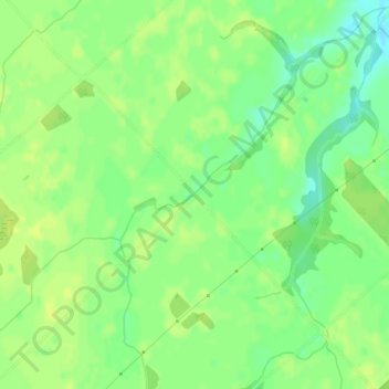
Name: Kintyre topographic map, elevation, terrain.
Location: Kintyre, West Elgin, Elgin County, Ontario, Canada (42.56690 -81.76619 42.58690 -81.74619)
Average elevation: 214 m
Minimum elevation: 203 m
Maximum elevation: 220 m