
Canning river topographic map
Interactive map
Click on the map to display elevation.
About this map
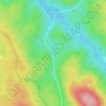
Name: Canning river topographic map, elevation, terrain.
Location: Canning river, Perth, Western Australia, Australia (-32.26535 116.19105 -32.24537 116.19548)
Average elevation: 293 m
Minimum elevation: 222 m
Maximum elevation: 401 m
Western Australia trails, hiking, mountain biking, running and outdoor activities
Other topographic maps
Click on a map to view its topography, its elevation and its terrain.