
Paradise Point topographic map
Interactive map
Click on the map to display elevation.
About this map
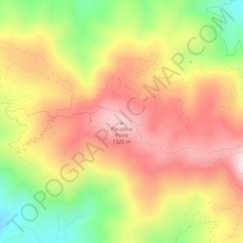
Name: Paradise Point topographic map, elevation, terrain.
Location: Paradise Point, Latah County, Idaho, USA (46.81623 -116.93799 46.81633 -116.93789)
Average elevation: 1,132 m
Minimum elevation: 886 m
Maximum elevation: 1,329 m
Other topographic maps
Click on a map to view its topography, its elevation and its terrain.
Little Rocky Island
USA > Idaho > Walters Ferry
Little Rocky Island, Walters Ferry, Owyhee County, Idaho, USA
Average elevation: 713 m