
Lewis Ponds topographic map
Interactive map
Click on the map to display elevation.
About this map
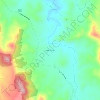
Name: Lewis Ponds topographic map, elevation, terrain.
Location: Lewis Ponds, Cabonne Council, New South Wales, Australia (-33.28500 149.24778 -33.24500 149.28778)
Average elevation: 761 m
Minimum elevation: 672 m
Maximum elevation: 954 m