
Bulga topographic map
Interactive map
Click on the map to display elevation.
About this map
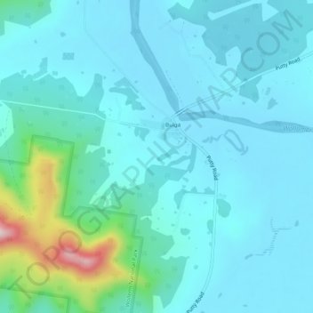
Name: Bulga topographic map, elevation, terrain.
Location: Bulga, Singleton Council, New South Wales, 2330, Australia (-32.67667 150.99778 -32.63667 151.03778)
Average elevation: 110 m
Minimum elevation: 58 m
Maximum elevation: 429 m