
Huyton topographic map
Interactive map
Click on the map to display elevation.
About this map
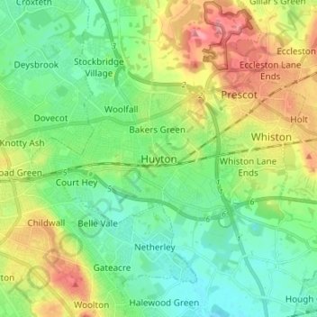
Name: Huyton topographic map, elevation, terrain.
Location: Huyton, North West England, England, L36 9YB, United Kingdom (53.37145 -2.87825 53.45145 -2.79825)
Average elevation: 41 m
Minimum elevation: 8 m
Maximum elevation: 102 m