
Sylvania topographic map
Interactive map
Click on the map to display elevation.
About this map
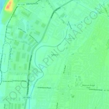
Name: Sylvania topographic map, elevation, terrain.
Location: Sylvania, Jefferson County, Kentucky, 40258, United States (38.13701 -85.89413 38.17701 -85.85413)
Average elevation: 138 m
Minimum elevation: 125 m
Maximum elevation: 165 m